This poster was presented at Geohab Marine Geological and Biological Habitat Mapping Conference 2013. 6th -10th May, Rome, Italy.
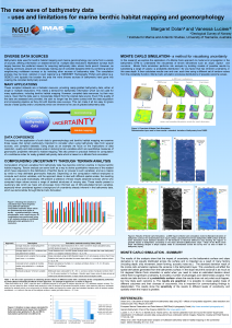
Bathymetric data used for benthic habitat mapping and marine geomorphology can come from a variety of sources, offering information on seabed terrain at multiple data resolutions. Multibeam surveys have largely become the preferred means for acquiring bathymetry data, where funds permit. However, as mapping continues, people are increasingly making use of compiled datasets either by combining several neighbouring multibeam surveys or by including other sources of bathymetry data. The compilation process may be local, national or even regional (e.g. EMODNET Hydrography Portal) and global (e.g. GEBCO) and typically the broader the area the more diverse sources of bathymetry have gone into creating the compiled bathymetry product.